
How Maps Off eBay Can Solve Army Problems
Leveraging unlikely sources to collect and interpret data

While reading CPT Sarah Chamberlin’s blog post highlighting LTC Zachary Griffiths’ piece on Vilnius, it occurred to me that professional military writers and defense-oriented data scientists and analytics firms are developing a significant area of common ground when it comes to research (or tactical lit reviews), whether they realize it or not.
Exploring as many of the facets of a problem as possible, especially when applying models like METT-TC or DIME, might quickly lead you outside of “traditional” sources of information for an Army officer. Do not be afraid to follow those leads. In an era of artificial intelligence, automation, and multi-modal or containerized language models, a staff officer can spend time down more rabbit holes than was previously possible (or wise). Furthermore, the results of one’s research can quickly be transformed into data sets that can be used for more scientific modeling or training scenarios. Sticking with LTC Griffiths’ Vilnius example, let’s look at a few ways to do this:
1. Pull in historical and contemporary data that isn’t focused entirely on the military picture. Hydrological and climate surveys, weather reporting and projections, environmental and agricultural impact statements, and even traffic data are available for huge swaths of the world. While difficult to analyze rapidly by hand, these data sets are ready-made for ingestion by AI, ML platforms, LLMs, and most GIS software. Furthermore, interactive webpages like the one created for Vilnius’ 700th year anniversary are treasure troves of potentially useful historical documents and data sets that can be fed into your analysis. Blowing the bridges is one thing; knowing the best time and place to do so, or where the adversary will go next to look for key terrain for crossings and bridgeheads is another. It also might be a good idea to know which bridges have special historical or cultural significance, because some poor 38G is going to have to explain the situation.
2. At the same time, it can be useful then to look back at your previous sources with a fresh eye; for instance this Polish study of the military geography of the Suwalki Gap contains a chart on page 13 which shows the morphometric data of key bodies of water throughout the region. As bridges are blown, blocking or releasing water, some of these areas may approach their maximums or minimums. This is the kind of analysis that would take days and a PhD to do on one’s own, but AI can take a chart like this and extrapolate it very quickly, especially when given a specific prompt about defending wet gaps.
3. Grab cheap books, manuals, maps, and even pamphlets. If you find yourself in an area where data is sparse, or the analysis isn’t very deep or maybe even impeded by a lack of translation abilities (though most webpages no longer have this problem due to extensions in the major browsers), get some cheap paper materials from a used bookstore, or eBay if you’re so inclined, and use one of the many options available to digitize a sample set.
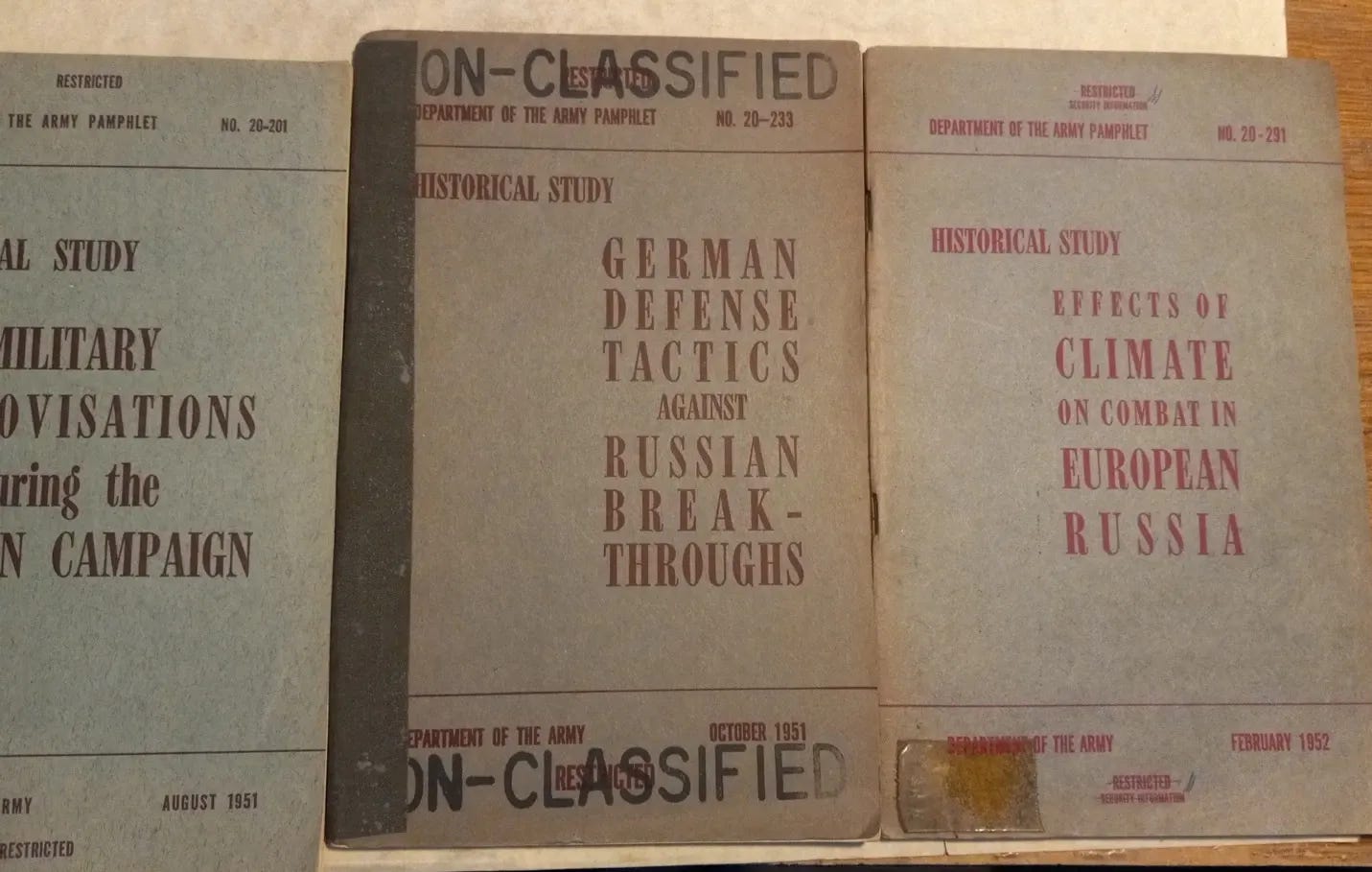
Photo courtesy of eBay listing.
4. Use your own notes and observations. If you conduct a recon, a staff ride, or even a touristy walk-about at any point, jot down some notes, save your photos, sketch key terrain or features, and use the same capabilities as in bullet 3 to digitize that data set. It may come in handy later, especially when reviewing any suggestions or analysis from working with the model or;
5. If you have access to Army Futures Command resources such as the Software Factory or are working with a vendor on something like Maven Smart System, show them the research you’ve conducted, the types of data you want to leverage, and the ideas and hypotheses you’ve formed. See if you can model it out or run it as a scenario during an exercise. This might help you go back and reexamine your assumptions or start building or a more complete solution or alternate course of action.
The idea here is not to harvest mountains of data you cannot act on, but rather to leverage new technologies to make more types of analysis possible faster than before. This, in turn, helps identify strengths and weaknesses to your approach along the way. Writing a good research paper or exploring the commander’s intent via research can lead to the accumulation of data that can now be actioned on using the new technology the Army is exploring to drive transformation.
 | A guest post by
|
You don't have to purchase these resources. The vast majority of them are available in the Army's professional libraries or museum archives. The Army past is a treasure trove of great information that is well worth the time to mine. At the Army Transortation Museum we are using veteran volunteers to digitze materials to make it more readily avilable to the force. The information is being uploaded onto our museum sharepoint - USA-Transportation-Museum so the wider Army can readily access it.
In studying Operation Market Garden one author discovered that the Dutch Army had used an advance along that same road from the Belgian border towards Arnhem as a table top exercise for years, experience that if asked would have led them to telling the allies that this was not a good idea.